Roeselare Map
Dear Hunter
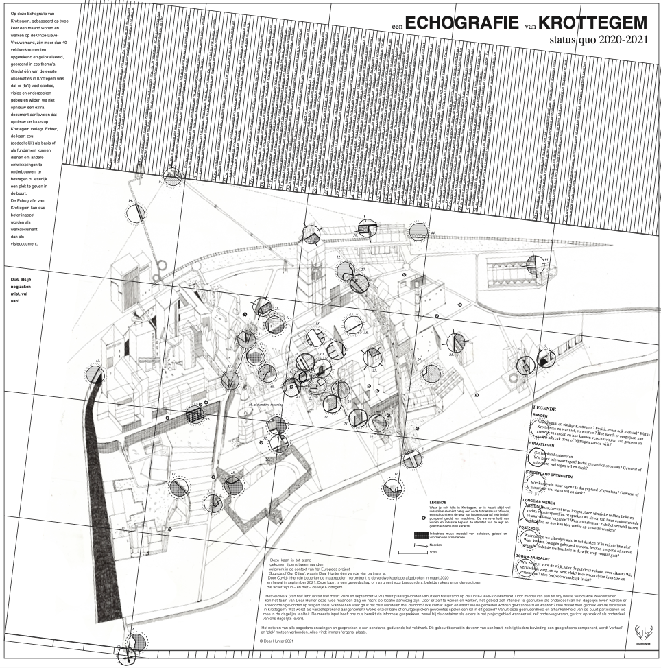
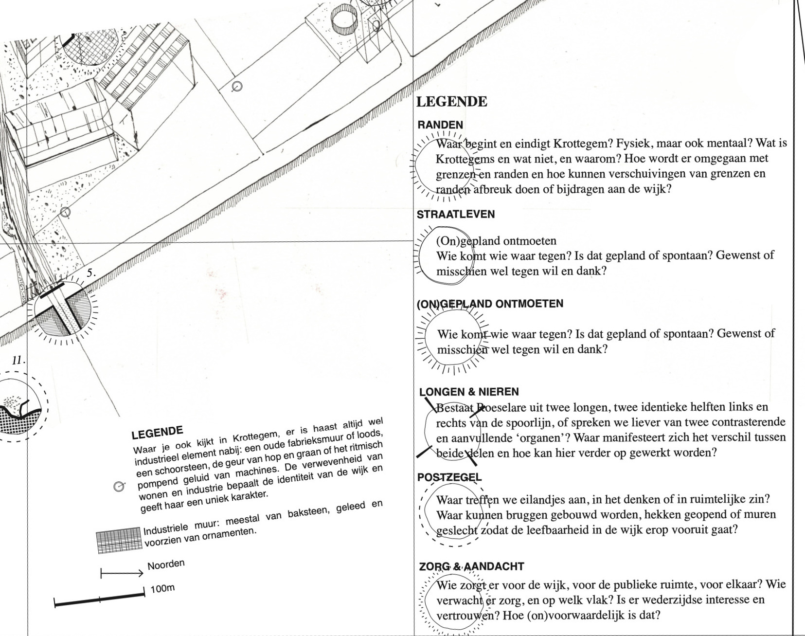
Dear Hunter’s cartopological mapping process made possible a more local and intimate exploration, understanding and description of Krottegem. The cartopological maps elaborate upon public interaction in relation to living space. As such, the cartopological mapping process represents an innovative technique of participative fieldwork, and created the basis for the sound exhibitions.
Cartopology as a discipline aims to combine anthropological methods with cartographic techniques of translating the experiences and insights of urban and architectural spaces into maps. Insights are gathered from radical and long-term participant observation, both in Krottegem and in Sant Andreu. The cartopological maps, crafted during the process, reveals everyday life in both neighbourhoods, and the relationship between the architectural/urban space, heritage, habits and routines of their residents.
The maps of Krottegem and Sant Andreu enable us to answer questions such as: How may we learn to adapt public space more to suit the citizens’ needs? How may we inform local governmental organisations and partners on how to deal with the ‘appropriation process’ on a long-term basis? How may we learn from the utilisation of public space by comparing neighbourhoods in the two different cities?